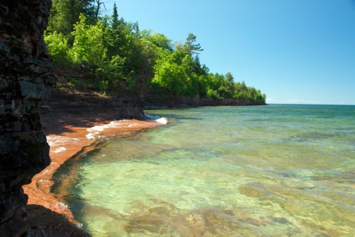
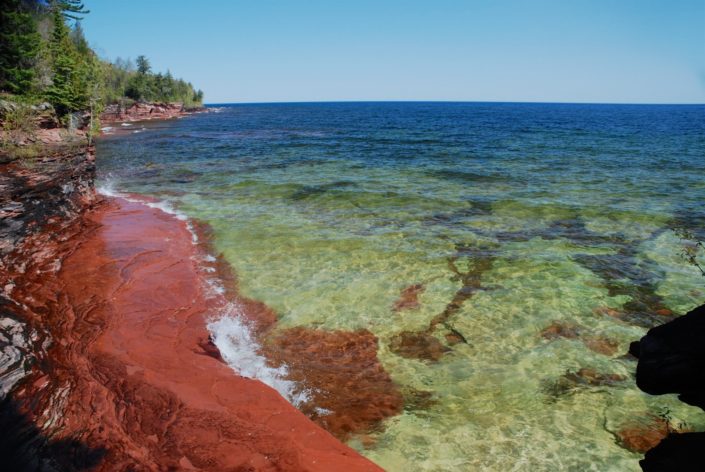
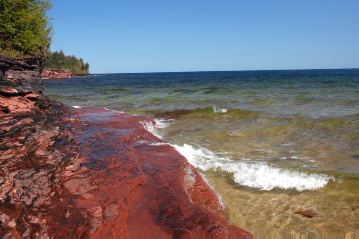
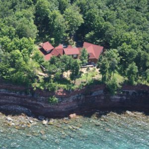
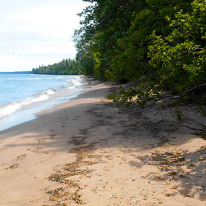
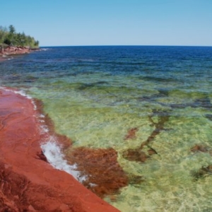
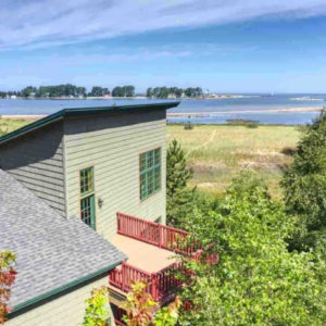
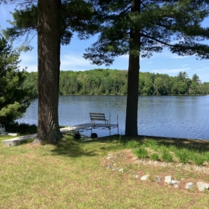
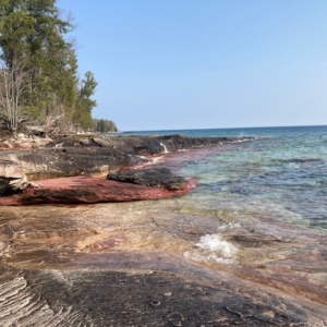
The view to the right is from the building site, looking easterly along the shore. The two views or red sandstone ledges are two different ledges on the property
But let’s start on the western edge, where over geological time Superior has carved a cove into the red sandstone shoreline leaving a sandstone ledge, brilliant red under the wash of the water, just below the waterline. It is pictured below dressed in winter ice.
From here, looking west, waves crash and spray on a series of small, banded sandstone points and cliffs rising 10 – 20 feet above the water. Dark green hemlocks and pines reach upwards towards a clear, pale blue northern sky. The water reflects the blue of that sky. Up here sky and water are the color you remember from your youth.
The sandstone ledge is a most interesting feature, and is perfect for launching your kayak or yourself, appropriately outfitted in scuba diving gear. The sandstone drops 90 degrees straight down into crystal water. The blues and greens, sharply contrasted with the red of the sandstone, are reminiscent of the Caribbean.
It’s five to six feet deep here and drops rapidly to perhaps 20 feet. Salmon and trout patrol the shore. Watching the waves surge and fall along that edge has an almost hypnotic effect on most people.
To the east, but still standing on the western side of the frontage, a rock point juts into the lake. Looking straight north Grand Island National Recreation Area lies long on the horizon. That big island protects the entry to Munising Bay and the Pictured Rocks National Lakeshore. In the foreground and due east AuTrain Island lays just a mile and a half off shore.
The view easterly from the building site in the center of the parcel is entirely different from the view to the west, and just as beautiful. Here the view is of a shoreline covered in colored stones and boulders, with a shallows extending into the lake that makes the waves break and roll white to the beach.
Directly below the building site is another dramatic red sandstone ledge, pictured on this website, and as you can see the color contrast here is even sharper — the bottom of the lake is white sandstone and it is much shallower — about waist deep a short distance out. This is about as good as it gets for swimming, kayaking — and viewing!
This building parcel, Laughing Whitefish Point #121, has 250 feet of Lake Superior shoreline with 10 acres of land. To the South, beyond Shore Drive (the paved access road), is a northern hardwoods type forest: beech, hard (sugar) maple, soft (red) maple, and a smattering of dark green hemlock and balsam conifers.
At this point you are two miles from M-28, far enough to eliminate all sounds from the highway. From this private building site you hear only the sounds of the north shore: crashing waves, the wash of the water, and gulls and loons calling across the big lake.
$220,000

